 Federal Cedar
Current Status
Where is the vessel?
Federal Cedar is currently in Near Bullu, based on AIS data received about 15h ago.
Latest AIS update:
Current position: 57.05044° N, 24.05729° E (Near Bullu)
Average speed (last 7 days): Loading…
Average speed (last 30 days): Loading…
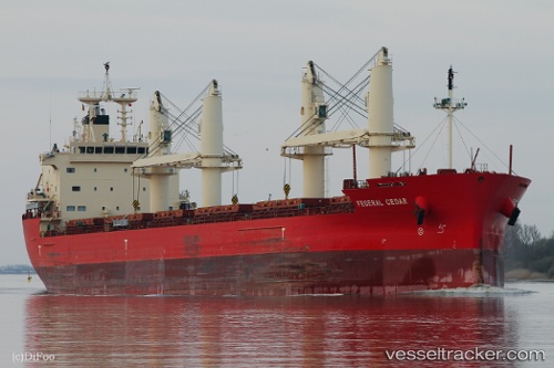
Vessel profile: Federal Cedar is a Bulk Carrier with dimensions 200m x 23m.
This page combines live AIS, route history, probable destination signals, nearby traffic, and port activity for practical vessel monitoring.
The current position of vessel Federal Cedar is 57.05044 lat / 24.05729 lng. Updated: 2026-05-19 23:41:41 UTCNearest reference points:
- Near Bullu
- Near Riga
- Near Ristna
Currently sailing under the flag of Marshall Is ![]()
Details:
Live Vessel Federal Cedar Analytics (details, animations, etc.)
Recent AIS points (UTC):
2026-05-19 20:07:41 UTC · 57.05056, 24.05713 · SOG 0 kn · COG 315°2026-05-19 22:00:03 UTC · 57.05047, 24.05715 · SOG 0 kn · COG 315°
2026-05-19 22:33:03 UTC · 57.05043, 24.05722 · SOG 0 kn · COG 315°
2026-05-19 23:41:41 UTC · 57.05044, 24.05729 · SOG 0 kn · COG 315°