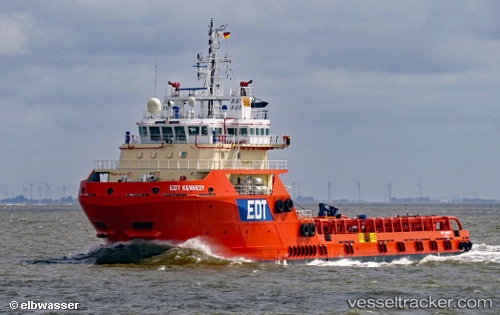
 Edt Kennedy
Current Status
Where is the vessel?
Edt Kennedy is currently in Near Al Hamriyah, based on AIS data received about 15h ago.
Latest AIS update:
Current position: 25.46845° N, 55.50829° E (Near Al Hamriyah)
Average speed (last 7 days): Loading…
Average speed (last 30 days): Loading…
Vessel profile: Edt Kennedy is a Offshore Support Vessel with dimensions 75m x 18m.
This page combines live AIS, route history, probable destination signals, nearby traffic, and port activity for practical vessel monitoring.
The current position of vessel Edt Kennedy is 25.46845 lat / 55.50829 lng. Updated: 2026-07-12 07:48:10 UTCNearest reference points:
- Near Al Hamriyah
- Near AJMAN
- Near Sharjah
Currently sailing under the flag of Cyprus ![]()
Details:
Live Vessel Edt Kennedy Analytics (details, animations, etc.)
Recent AIS points (UTC):
2026-07-12 04:18:06 UTC · 25.46842, 55.50830 · SOG 0 kn · COG 136°2026-07-12 05:48:03 UTC · 25.46839, 55.50827 · SOG 0 kn · COG 136°
2026-07-12 07:30:05 UTC · 25.46844, 55.50830 · SOG 0 kn · COG 136°
2026-07-12 07:48:10 UTC · 25.46845, 55.50829 · SOG 0 kn · COG 136°