 Shin Taiyo Maru
Current Status
Where is the vessel?
Shin Taiyo Maru is currently in 18 nm N of Unnan, based on AIS data received about 15h ago.
Latest AIS update:
Current position: 35.57762° N, 132.80939° E (18 nm N of Unnan)
Average speed (last 7 days): Loading…
Average speed (last 30 days): Loading…
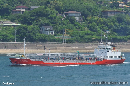
Vessel profile: Shin Taiyo Maru is a Oil Products Tanker with dimensions 75m x 12m.
This page combines live AIS, route history, probable destination signals, nearby traffic, and port activity for practical vessel monitoring.
The current position of vessel Shin Taiyo Maru is 35.57762 lat / 132.80939 lng. Updated: 2026-05-21 05:41:45 UTCNearest reference points:
- 37 nm NW of NAKANOSHIMA
- 63 nm NW of Unnan
- 39 nm N of Iwami
Currently sailing under the flag of Japan ![]()
Details:
Live Vessel Shin Taiyo Maru Analytics (details, animations, etc.)
Recent AIS points (UTC):
2026-05-21 01:34:33 UTC · 36.21721, 133.34702 · SOG 0 kn · COG 102°2026-05-21 03:39:56 UTC · 35.90736, 133.16824 · SOG 13.2 kn · COG 213°
2026-05-21 04:04:15 UTC · 35.82943, 133.11150 · SOG 13.3 kn · COG 216°
2026-05-21 05:41:45 UTC · 35.57762, 132.80939 · SOG 13.2 kn · COG 234°