 Havtrans
Current Status
Where is the vessel?
Havtrans is currently in Near Averøy, based on AIS data received about 14h ago.
Latest AIS update:
Current position: 63.07547° N, 7.66681° E (Near Averøy)
Average speed (last 7 days): Loading…
Average speed (last 30 days): Loading…
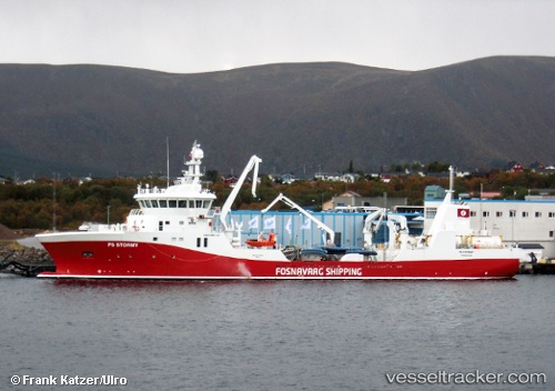
Vessel profile: Havtrans is a Fish Carrier with dimensions 85m x 17m.
This page combines live AIS, route history, probable destination signals, nearby traffic, and port activity for practical vessel monitoring.
The current position of vessel Havtrans is 63.07547 lat / 7.66681 lng. Updated: 2026-05-25 00:07:41 UTCNearest reference points:
- Near Kristiansund
- Near Smøla
- Near Halsa
Currently sailing under the flag of Norway ![]()
Details:
Live Vessel Havtrans Analytics (details, animations, etc.)
Recent AIS points (UTC):
2026-05-24 20:04:33 UTC · 63.07547, 7.66682 · SOG 0 kn · COG 241°2026-05-24 22:13:37 UTC · 63.07547, 7.66684 · SOG 0 kn · COG 240°
2026-05-24 22:22:38 UTC · 63.07546, 7.66682 · SOG 0 kn · COG 240°
2026-05-25 00:07:41 UTC · 63.07547, 7.66681 · SOG 0 kn · COG 240°