 vesseltracker.com
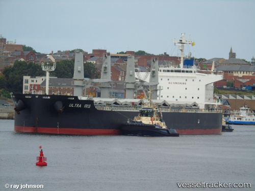
 BUBBA BOOSH
Current Status
Where is the vessel?
BUBBA BOOSH is currently in 33 nm S of Loop Terminal, based on AIS data received less than 1h ago.
Latest AIS update:
Current position: 28.32167° N, 89.86833° W (33 nm S of Loop Terminal)
Average speed (last 7 days): Loading…
Average speed (last 30 days): Loading…
Vessel profile: BUBBA BOOSH is a Bulk Carrier with dimensions 32m x 189m.
This page combines live AIS, route history, probable destination signals, nearby traffic, and port activity for practical vessel monitoring.
The current position of vessel BUBBA BOOSH is 28.32167 lat / -89.86833 lng. Updated: 2026-05-16 01:19:29 UTCNearest reference points:
- Near Port Fourchon
- Near FOURCHON
- Near Pilottown
Currently sailing under the flag of Marshall Islands ![]()
BUBBA BOOSH built in 2014 year
Deadweight:
55464 tDetails:
Live Vessel BUBBA BOOSH Analytics (details, animations, etc.)
Recent AIS points (UTC):
2026-05-15 21:37:28 UTC · 27.65167, -89.92500 · SOG 12 kn · COG -1°2026-05-15 22:28:30 UTC · 27.82167, -89.87500 · SOG 12 kn · COG -1°
2026-05-15 23:49:31 UTC · 28.06333, -89.88500 · SOG 10 kn · COG -1°
2026-05-16 01:19:29 UTC · 28.32167, -89.86833 · SOG 10 kn · COG -1°