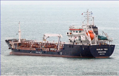
 Marlin Tiga
Current Status
Where is the vessel?
Marlin Tiga is currently in Near Tampines, based on AIS data received about 14h ago.
Latest AIS update:
Current position: 1.30210° N, 103.96031° E (Near Tampines)
Average speed (last 7 days): Loading…
Average speed (last 30 days): Loading…
Vessel profile: Marlin Tiga is a Service Ship with dimensions 90m x 16m.
This page combines live AIS, route history, probable destination signals, nearby traffic, and port activity for practical vessel monitoring.
The current position of vessel Marlin Tiga is 1.30210 lat / 103.96031 lng. Updated: 2026-05-20 10:46:22 UTCNearest reference points:
- Near Tampines
- Near Changi
- Near TANAH MERAH
Currently sailing under the flag of Singapore ![]()
Details:
Live Vessel Marlin Tiga Analytics (details, animations, etc.)
Recent AIS points (UTC):
2026-05-20 07:34:42 UTC · 1.28401, 104.01527 · SOG 9.6 kn · COG 288°2026-05-20 07:54:04 UTC · 1.30315, 103.96476 · SOG 6.3 kn · COG 271°
2026-05-20 09:47:41 UTC · 1.30194, 103.96029 · SOG 0 kn · COG 88°
2026-05-20 10:46:22 UTC · 1.30210, 103.96031 · SOG 0 kn · COG 100°