 LADY LAVELA
Current Status
Where is the vessel?
LADY LAVELA is currently in 13 nm E of PORTO PILA, based on AIS data received about 16h ago.
Latest AIS update:
Current position: 44.98079° N, 12.78849° E (13 nm E of PORTO PILA)
Average speed (last 7 days): Loading…
Average speed (last 30 days): Loading…
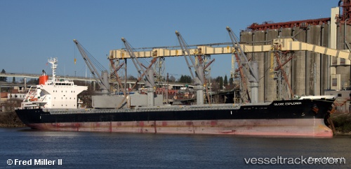
Vessel profile: LADY LAVELA is a Cargo with dimensions m x m.
This page combines live AIS, route history, probable destination signals, nearby traffic, and port activity for practical vessel monitoring.
The current position of vessel LADY LAVELA is 44.98079 lat / 12.78849 lng. Updated: 2026-05-20 13:49:58 UTCNearest reference points:
- Near PORTO PILA
- Near Camponogara
- Near IVANA C
Currently sailing under the flag of Barbados ![]()
Details:
Live Vessel LADY LAVELA Analytics (details, animations, etc.)
Recent AIS points (UTC):
2026-05-20 10:27:49 UTC · 45.39910, 12.26196 · SOG 6.2 kn · COG 183°2026-05-20 11:52:07 UTC · 45.26882, 12.45735 · SOG 11.7 kn · COG 125°
2026-05-20 13:27:48 UTC · 45.04400, 12.73656 · SOG 11.7 kn · COG 150°
2026-05-20 13:49:58 UTC · 44.98079, 12.78849 · SOG 12 kn · COG 150°