 Isla Bella
Current Status
Where is the vessel?
Isla Bella is currently in 74 nm NE of Harbour Island, based on AIS data received about 14h ago.
Latest AIS update:
Current position: 26.22167° N, 75.51167° W (74 nm NE of Harbour Island)
Average speed (last 7 days): Loading…
Average speed (last 30 days): Loading…
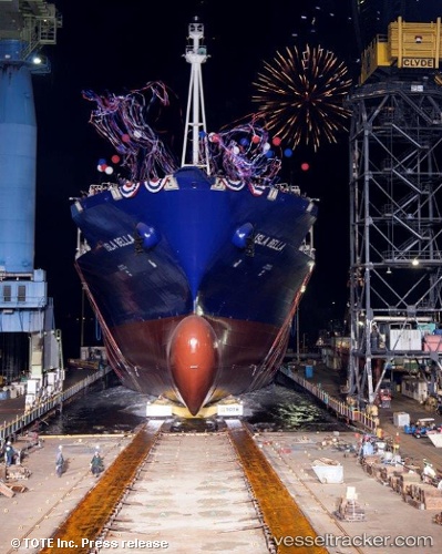
Vessel profile: Isla Bella is a Container Ship with dimensions 233m x 32m.
This page combines live AIS, route history, probable destination signals, nearby traffic, and port activity for practical vessel monitoring.
The current position of vessel Isla Bella is 26.22167 lat / -75.51167 lng. Updated: 2026-05-20 16:17:54 UTCNearest reference points:
- 31 nm E of Harbour Island
- 22 nm E of Harbour Island
- Near Harbour Island
Currently sailing under the flag of USA ![]()
Details:
Live Vessel Isla Bella Analytics (details, animations, etc.)
Recent AIS points (UTC):
2026-05-20 12:17:53 UTC · 25.24500, -74.28500 · SOG 21 kn · COG -1°2026-05-20 13:11:53 UTC · 25.45833, -74.55667 · SOG 21 kn · COG -1°
2026-05-20 13:59:57 UTC · 25.65167, -74.80167 · SOG 22 kn · COG -1°
2026-05-20 16:17:54 UTC · 26.22167, -75.51167 · SOG 22 kn · COG -1°