 CMC ANTILLANCA
Current Status
Where is the vessel?
CMC ANTILLANCA is currently in Near Lome, based on AIS data received about 15h ago.
Latest AIS update:
Current position: 6.02571° N, 1.29018° E (Near Lome)
Average speed (last 7 days): Loading…
Average speed (last 30 days): Loading…
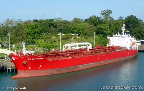
Vessel profile: CMC ANTILLANCA is a Tanker with dimensions m x m.
This page combines live AIS, route history, probable destination signals, nearby traffic, and port activity for practical vessel monitoring.
The current position of vessel CMC ANTILLANCA is 6.02571 lat / 1.29018 lng. Updated: 2026-05-19 06:03:40 UTCNearest reference points:
- Near Ablogamé
- Near Cotonou
- Near Kirikiri
Currently sailing under the flag of Liberia ![]()
Details:
Live Vessel CMC ANTILLANCA Analytics (details, animations, etc.)
Recent AIS points (UTC):
2026-05-19 01:51:40 UTC · 6.02604, 1.28994 · SOG 0.1 kn · COG 217°2026-05-19 03:57:40 UTC · 6.02598, 1.28989 · SOG 0 kn · COG 220°
2026-05-19 04:15:40 UTC · 6.02603, 1.28997 · SOG 0.3 kn · COG 219°
2026-05-19 06:03:40 UTC · 6.02571, 1.29018 · SOG 0.3 kn · COG 230°