 Mogami Maru
Current Status
Where is the vessel?
Mogami Maru is currently in Near Shimizu, based on AIS data received about 14h ago.
Latest AIS update:
Current position: 34.99258° N, 138.50172° E (Near Shimizu)
Average speed (last 7 days): Loading…
Average speed (last 30 days): Loading…
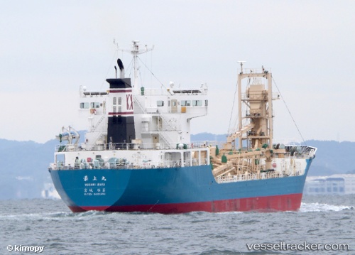
Vessel profile: Mogami Maru is a Cement Carrier with dimensions 113m x 113m.
This page combines live AIS, route history, probable destination signals, nearby traffic, and port activity for practical vessel monitoring.
The current position of vessel Mogami Maru is 34.99258 lat / 138.50172 lng. Updated: 2026-05-21 00:21:03 UTCNearest reference points:
- Near Shimizu
- Near OMAEZAKI
- Near Iruma
Currently sailing under the flag of Japan ![]()
Details:
Live Vessel Mogami Maru Analytics (details, animations, etc.)
Recent AIS points (UTC):
2026-05-20 19:03:03 UTC · 34.99253, 138.50169 · SOG 0 kn · COG 320°2026-05-20 21:30:04 UTC · 34.99251, 138.50172 · SOG 0 kn · COG 320°
2026-05-20 22:54:03 UTC · 34.99252, 138.50172 · SOG 0 kn · COG 320°
2026-05-21 00:21:03 UTC · 34.99258, 138.50172 · SOG 0 kn · COG 322°