 LADY ANITA
Current Status
Where is the vessel?
LADY ANITA is currently in Near AL ADABIYAH, based on AIS data received about 15h ago.
Latest AIS update:
Current position: 29.85647° N, 32.52905° E (Near AL ADABIYAH)
Average speed (last 7 days): Loading…
Average speed (last 30 days): Loading…
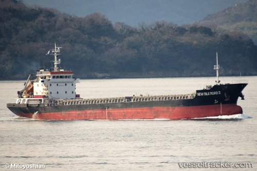
Vessel profile: LADY ANITA is a Cargo with dimensions m x m.
This page combines live AIS, route history, probable destination signals, nearby traffic, and port activity for practical vessel monitoring.
The current position of vessel LADY ANITA is 29.85647 lat / 32.52905 lng. Updated: 2026-05-20 17:59:30 UTCNearest reference points:
- Near Bur Ibrahim
- Near AL ADABIYAH
- Near SUEZ PORT
Currently sailing under the flag of Togo ![]()
Details:
Live Vessel LADY ANITA Analytics (details, animations, etc.)
Recent AIS points (UTC):
2026-05-20 13:50:32 UTC · 29.85670, 32.52933 · SOG 0.3 kn · COG 347°2026-05-20 15:53:32 UTC · 29.85652, 32.52898 · SOG 0.3 kn · COG 0°
2026-05-20 16:11:32 UTC · 29.85638, 32.52866 · SOG 0.1 kn · COG 0°
2026-05-20 17:59:30 UTC · 29.85647, 32.52905 · SOG 0 kn · COG 348°