 AL MANHAL
Current Status
Where is the vessel?
AL MANHAL is currently in 125 nm W of Nindakara, based on AIS data received about 15h ago.
Latest AIS update:
Current position: 8.17239° N, 74.58160° E (125 nm W of Nindakara)
Average speed (last 7 days): Loading…
Average speed (last 30 days): Loading…
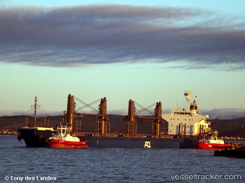
Vessel profile: AL MANHAL is a Cargo with dimensions m x m.
This page combines live AIS, route history, probable destination signals, nearby traffic, and port activity for practical vessel monitoring.
The current position of vessel AL MANHAL is 8.17239 lat / 74.58160 lng. Updated: 2026-05-19 08:53:33 UTCNearest reference points:
- 45 nm SW of Kalpeni Island
- Near Cochin
- Near Edappally
Currently sailing under the flag of Liberia ![]()
Details:
Live Vessel AL MANHAL Analytics (details, animations, etc.)
Recent AIS points (UTC):
2026-05-19 05:12:38 UTC · 8.45438, 73.94509 · SOG 11.2 kn · COG -1°2026-05-19 08:53:33 UTC · 8.17239, 74.58160 · SOG 11.4 kn · COG 114°
2026-05-19 08:53:33 UTC · 8.17239, 74.58160 · SOG 11.4 kn · COG 114°
2026-05-19 08:53:33 UTC · 8.17239, 74.58160 · SOG 11.4 kn · COG 114°