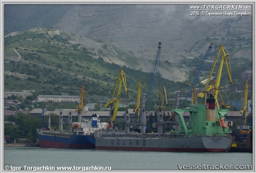
Ellenita
Current StatusWhere is the vessel?
Ellenita is currently in 27 nm W of Hsin-chu, based on AIS data received about 15h ago.
Latest AIS update:
Current position: 24.96257° N, 120.50538° E (27 nm W of Hsin-chu)
Average speed (last 7 days): Loading…
Average speed (last 30 days): Loading…
Vessel profile: Ellenita is a Bulk Carrier with dimensions 32m x 190m.
This page combines live AIS, route history, probable destination signals, nearby traffic, and port activity for practical vessel monitoring.
The current position of vessel Ellenita is 24.96257 lat / 120.50538 lng. Updated: 2026-06-10 05:48:28 UTCNearest reference points:
- 11 nm NW of Hukou
- Near Hsin-chu
- Near Miao-li
Details:
Live Vessel Ellenita Analytics (details, animations, etc.)
Recent AIS points (UTC):
2026-06-10 01:51:07 UTC · 24.37017, 120.32458 · SOG 10.6 kn · COG 293°2026-06-10 04:05:09 UTC · 24.68624, 120.33599 · SOG 10.7 kn · COG 27°
2026-06-10 04:16:47 UTC · 24.71684, 120.35518 · SOG 10.9 kn · COG 30°
2026-06-10 05:48:28 UTC · 24.96257, 120.50538 · SOG 10.9 kn · COG 26°