 MARINA I
Current Status
Where is the vessel?
MARINA I is currently in 213 nm SE of Manakara, based on AIS data received about 14h ago.
Latest AIS update:
Current position: 24.20500° S, 51.17667° E (213 nm SE of Manakara)
Average speed (last 7 days): Loading…
Average speed (last 30 days): Loading…
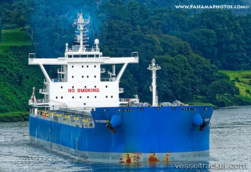
Vessel profile: MARINA I is a Bulk Carrier with dimensions 229m x 32m.
This page combines live AIS, route history, probable destination signals, nearby traffic, and port activity for practical vessel monitoring.
The current position of vessel MARINA I is -24.20500 lat / 51.17667 lng. Updated: 2026-06-16 16:38:30 UTCNearest reference points:
- 209 nm E of Manakara
- 194 nm E of Manakara
- 271 nm E of Fort Dauphin
Currently sailing under the flag of Marshall Islands ![]()
MARINA I built in 2015 year
Deadweight:
81014 tDetails:
Live Vessel MARINA I Analytics (details, animations, etc.)
Recent AIS points (UTC):
2026-06-16 13:39:38 UTC · -24.00425, 51.67409 · SOG 10.1 kn · COG 245°2026-06-16 13:53:31 UTC · -24.01833, 51.63333 · SOG 10 kn · COG -1°
2026-06-16 16:13:07 UTC · -24.17875, 51.24971 · SOG 10.3 kn · COG 246°
2026-06-16 16:38:30 UTC · -24.20500, 51.17667 · SOG 10 kn · COG -1°