 Nord Stark
Current Status
Where is the vessel?
Nord Stark is currently in Near Banjul, based on AIS data received about 14h ago.
Latest AIS update:
Current position: 13.44350° N, 16.55836° W (Near Banjul)
Average speed (last 7 days): Loading…
Average speed (last 30 days): Loading…
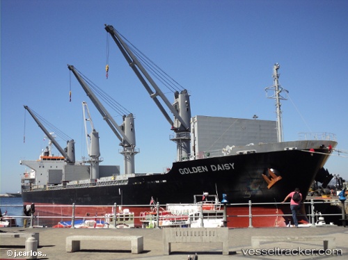
Vessel profile: Nord Stark is a Bulk Carrier with dimensions 169m x 27m.
This page combines live AIS, route history, probable destination signals, nearby traffic, and port activity for practical vessel monitoring.
The current position of vessel Nord Stark is 13.44350 lat / -16.55836 lng. Updated: 2026-07-04 16:12:41 UTCNearest reference points:
- Near Banjul
- Near San Francisco Libre
- Near Rufisque
Currently sailing under the flag of Barbados ![]()
Nord Stark built in 2014 year
Deadweight:
28368 tDetails:
Live Vessel Nord Stark Analytics (details, animations, etc.)
Recent AIS points (UTC):
2026-07-04 13:39:41 UTC · 13.43981, -16.55748 · SOG 0.2 kn · COG 359°2026-07-04 13:54:41 UTC · 13.43985, -16.55743 · SOG 0.1 kn · COG 340°
2026-07-04 15:09:41 UTC · 13.44064, -16.55626 · SOG 0.2 kn · COG 299°
2026-07-04 16:12:41 UTC · 13.44350, -16.55836 · SOG 0.2 kn · COG 191°