 AQUAVITA BAY
Current Status
Where is the vessel?
AQUAVITA BAY is currently in Near Kennedy Town, based on AIS data received about 15h ago.
Latest AIS update:
Current position: 22.29753° N, 114.08596° E (Near Kennedy Town)
Average speed (last 7 days): Loading…
Average speed (last 30 days): Loading…
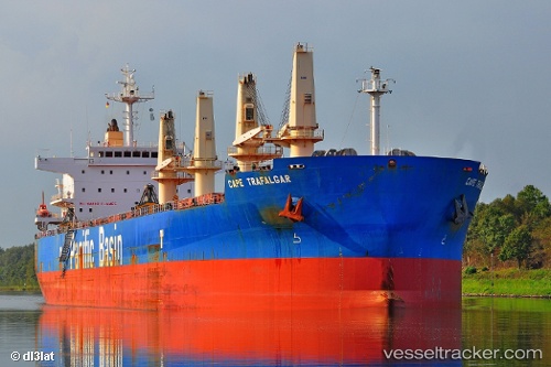
Vessel profile: AQUAVITA BAY is a Bulk Carrier with dimensions m x m.
This page combines live AIS, route history, probable destination signals, nearby traffic, and port activity for practical vessel monitoring.
The current position of vessel AQUAVITA BAY is 22.29753 lat / 114.08596 lng. Updated: 2026-06-17 11:58:46 UTCNearest reference points:
- Near Kennedy Town
- Near Shek Tong Tsui
- Near Lai Chi Kok
Currently sailing under the flag of Marshall Islands ![]()
Details:
Live Vessel AQUAVITA BAY Analytics (details, animations, etc.)
Recent AIS points (UTC):
2026-06-17 07:55:46 UTC · 22.29759, 114.08622 · SOG 0.1 kn · COG 350°2026-06-17 09:49:46 UTC · 22.29779, 114.08587 · SOG 0.1 kn · COG 338°
2026-06-17 10:16:46 UTC · 22.29759, 114.08612 · SOG 0.2 kn · COG 340°
2026-06-17 11:58:46 UTC · 22.29753, 114.08596 · SOG 0.1 kn · COG 349°