 TRUE CRUSADER
Current Status
Where is the vessel?
TRUE CRUSADER is currently in 30 nm SE of Langsa Venture FPSO, based on AIS data received about 14h ago.
Latest AIS update:
Current position: 4.91301° N, 98.35629° E (30 nm SE of Langsa Venture FPSO)
Average speed (last 7 days): Loading…
Average speed (last 30 days): Loading…
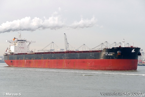
Vessel profile: TRUE CRUSADER is a Bulk Carrier with dimensions 292m x 45m.
This page combines live AIS, route history, probable destination signals, nearby traffic, and port activity for practical vessel monitoring.
The current position of vessel TRUE CRUSADER is 4.91301 lat / 98.35629 lng. Updated: 2026-05-19 23:35:14 UTCNearest reference points:
- 18 nm E of Langsa Venture FPSO
- 43 nm NE of PANGKALAN SUSU
- Near Belawan
Currently sailing under the flag of Liberia ![]()
TRUE CRUSADER built in 2016 year
Deadweight:
179656 tDetails:
Live Vessel TRUE CRUSADER Analytics (details, animations, etc.)
Recent AIS points (UTC):
2026-05-19 22:02:44 UTC · 5.11491, 98.16339 · SOG 10.7 kn · COG 140°2026-05-19 23:35:14 UTC · 4.91301, 98.35629 · SOG 10.8 kn · COG 129°
2026-05-19 23:35:14 UTC · 4.91301, 98.35629 · SOG 10.8 kn · COG 129°
2026-05-19 23:35:14 UTC · 4.91301, 98.35629 · SOG 10.8 kn · COG 129°