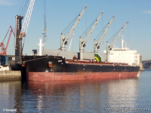
 LETO
LETO
Current Status
Where is the vessel?
LETO is currently in 80 nm E of Balneário Barra do Sul, based on AIS data received about 14h ago.
Latest AIS update:
Current position: 26.44439° S, 47.11590° W (80 nm E of Balneário Barra do Sul)
Average speed (last 7 days): Loading…
Average speed (last 30 days): Loading…
Vessel profile: LETO is a Cargo with dimensions m x m.
This page combines live AIS, route history, probable destination signals, nearby traffic, and port activity for practical vessel monitoring.
The current position of vessel LETO is -26.44439 lat / -47.11590 lng. Updated: 2026-06-12 23:58:39 UTCNearest reference points:
- 113 nm E of Balneário Barra do Sul
- 32 nm E of Caioba
- 24 nm E of Caioba
Currently sailing under the flag of Bahamas ![]()
Details:
Live Vessel LETO Analytics (details, animations, etc.)
Recent AIS points (UTC):
2026-06-12 19:59:14 UTC · -27.04260, -47.30005 · SOG 9.2 kn · COG 14°2026-06-12 22:08:42 UTC · -26.72567, -47.20681 · SOG 9.1 kn · COG 16°
2026-06-12 23:16:40 UTC · -26.55241, -47.15080 · SOG 9.6 kn · COG 16°
2026-06-12 23:58:39 UTC · -26.44439, -47.11590 · SOG 9.6 kn · COG 16°