 vesseltracker.com
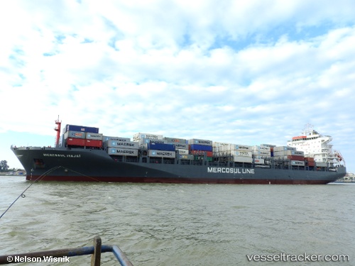
 Mercosul Itajai
Current Status
Where is the vessel?
Mercosul Itajai is currently in 55 nm S of Rio Grande, based on AIS data received about 1h ago.
Latest AIS update:
Current position: 32.91667° S, 51.72333° W (55 nm S of Rio Grande)
Average speed (last 7 days): Loading…
Average speed (last 30 days): Loading…
Vessel profile: Mercosul Itajai is a Container Ship with dimensions 195m x 32m.
This page combines live AIS, route history, probable destination signals, nearby traffic, and port activity for practical vessel monitoring.
The current position of vessel Mercosul Itajai is -32.91667 lat / -51.72333 lng. Updated: 2026-03-31 03:41:06 UTCNearest reference points:
- 24 nm SE of São José do Norte
- Near Rio Grande
- 105 nm SE of Chui
Currently sailing under the flag of Brazil ![]()
Details:
Live Vessel Mercosul Itajai Analytics (details, animations, etc.)
Recent AIS points (UTC):
2026-03-30 21:26:01 UTC · -33.95167, -52.65333 · SOG 12 kn · COG -1°2026-03-31 00:05:01 UTC · -33.54167, -52.21167 · SOG 12 kn · COG -1°
2026-03-31 02:23:04 UTC · -33.14833, -51.89333 · SOG 12 kn · COG -1°
2026-03-31 03:41:06 UTC · -32.91667, -51.72333 · SOG 12 kn · COG -1°