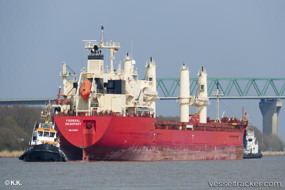
 Federal Beaufort
Current Status
Where is the vessel?
Federal Beaufort is currently in 12 nm N of Gávrion, based on AIS data received about 14h ago.
Latest AIS update:
Current position: 38.08991° N, 24.71398° E (12 nm N of Gávrion)
Average speed (last 7 days): Loading…
Average speed (last 30 days): Loading…
Vessel profile: Federal Beaufort is a Bulk Carrier with dimensions 200m x 200m.
This page combines live AIS, route history, probable destination signals, nearby traffic, and port activity for practical vessel monitoring.
The current position of vessel Federal Beaufort is 38.08991 lat / 24.71398 lng. Updated: 2026-05-19 14:24:33 UTCNearest reference points:
- Near Agia Marina Grammatikou Attikis
- Near Kéa (Tzia)
- Near MILAKI
Currently sailing under the flag of Marshall Is ![]()
Details:
Live Vessel Federal Beaufort Analytics (details, animations, etc.)
Recent AIS points (UTC):
2026-05-19 10:08:44 UTC · 38.83781, 25.19506 · SOG 11.7 kn · COG 205°2026-05-19 11:59:35 UTC · 38.51996, 24.97588 · SOG 12 kn · COG 207°
2026-05-19 13:23:14 UTC · 38.27389, 24.81840 · SOG 11.6 kn · COG 206°
2026-05-19 14:24:33 UTC · 38.08991, 24.71398 · SOG 11.9 kn · COG 207°