 vesseltracker.com
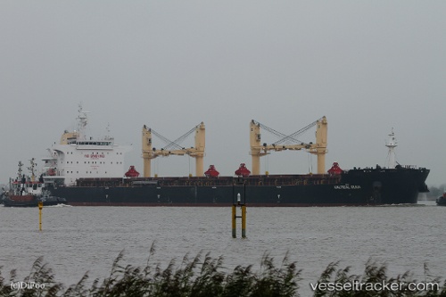
 PAN HARVEST
Current Status
Where is the vessel?
PAN HARVEST is currently in 37 nm N of Daeheuksando, based on AIS data received about 15h ago.
Latest AIS update:
Current position: 35.29477° N, 125.28549° E (37 nm N of Daeheuksando)
Average speed (last 7 days): Loading…
Average speed (last 30 days): Loading…
Vessel profile: PAN HARVEST is a Bulk Carrier with dimensions 200m x 200m.
This page combines live AIS, route history, probable destination signals, nearby traffic, and port activity for practical vessel monitoring.
The current position of vessel PAN HARVEST is 35.29477 lat / 125.28549 lng. Updated: 2026-05-17 21:31:21 UTCNearest reference points:
- 19 nm NW of Sangwangdeungdo
- Near WIDO
- Near Songgong
Currently sailing under the flag of Panama ![]()
PAN HARVEST built in 2015 year
Deadweight:
63577 tDetails:
Live Vessel PAN HARVEST Analytics (details, animations, etc.)
Recent AIS points (UTC):
2026-05-17 17:45:38 UTC · 35.95922, 125.58186 · SOG 10.3 kn · COG 202°2026-05-17 20:01:49 UTC · 35.57639, 125.41230 · SOG 11.4 kn · COG 201°
2026-05-17 20:14:37 UTC · 35.53824, 125.39435 · SOG 11.5 kn · COG 199°
2026-05-17 21:31:21 UTC · 35.29477, 125.28549 · SOG 12.7 kn · COG 199°