 LOWLANDS PELIKAAN
Current Status
Where is the vessel?
LOWLANDS PELIKAAN is currently in Near Casablanca, based on AIS data received about 15h ago.
Latest AIS update:
Current position: 33.65138° N, 7.60002° W (Near Casablanca)
Average speed (last 7 days): Loading…
Average speed (last 30 days): Loading…
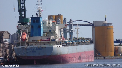
Vessel profile: LOWLANDS PELIKAAN is a Cargo with dimensions m x m.
This page combines live AIS, route history, probable destination signals, nearby traffic, and port activity for practical vessel monitoring.
The current position of vessel LOWLANDS PELIKAAN is 33.65138 lat / -7.60002 lng. Updated: 2026-05-20 11:38:18 UTCNearest reference points:
- Near Mohammedia
- Near Jorf Lasfar
- 54 nm N of El Jadida
Currently sailing under the flag of Belgium ![]()
Details:
Live Vessel LOWLANDS PELIKAAN Analytics (details, animations, etc.)
Recent AIS points (UTC):
2026-05-20 07:29:19 UTC · 33.65206, -7.60028 · SOG 0.4 kn · COG 68°2026-05-20 09:53:15 UTC · 33.65100, -7.59947 · SOG 0.4 kn · COG 38°
2026-05-20 10:32:16 UTC · 33.65118, -7.59982 · SOG 0.8 kn · COG 40°
2026-05-20 11:38:18 UTC · 33.65138, -7.60002 · SOG 0.8 kn · COG 51°