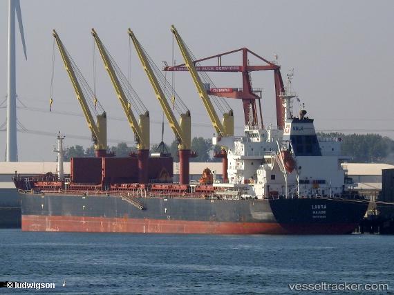
 LAURA
LAURA
Current Status
Where is the vessel?
LAURA is currently in 12 nm NE of Viinistu Sadam, based on AIS data received about 15h ago.
Latest AIS update:
Current position: 59.84011° N, 25.91001° E (12 nm NE of Viinistu Sadam)
Average speed (last 7 days): Loading…
Average speed (last 30 days): Loading…
Vessel profile: LAURA is a Cargo with dimensions m x m.
This page combines live AIS, route history, probable destination signals, nearby traffic, and port activity for practical vessel monitoring.
The current position of vessel LAURA is 59.84011 lat / 25.91001 lng. Updated: 2026-05-19 22:33:11 UTCNearest reference points:
- 13 nm N of Viinistu Sadam
- Near Vessölandet
- Near Vuosaari (Nordsjö)
Currently sailing under the flag of Liberia ![]()
Details:
Live Vessel LAURA Analytics (details, animations, etc.)
Recent AIS points (UTC):
2026-05-19 19:25:54 UTC · 59.82917, 25.45713 · SOG 12 kn · COG 78°2026-05-19 20:08:03 UTC · 59.85689, 25.73254 · SOG 10 kn · COG 82°
2026-05-19 21:57:08 UTC · 59.84026, 25.90962 · SOG 0.1 kn · COG 224°
2026-05-19 22:33:11 UTC · 59.84011, 25.91001 · SOG 0 kn · COG 225°