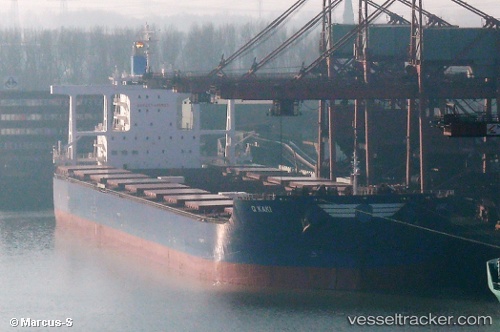
 MINERAL AJISAI
Current Status
Where is the vessel?
MINERAL AJISAI is currently in 31 nm W of Pulau Jarak, based on AIS data received about 14h ago.
Latest AIS update:
Current position: 4.09048° N, 99.58385° E (31 nm W of Pulau Jarak)
Average speed (last 7 days): Loading…
Average speed (last 30 days): Loading…
Vessel profile: MINERAL AJISAI is a Cargo with dimensions m x m.
This page combines live AIS, route history, probable destination signals, nearby traffic, and port activity for practical vessel monitoring.
The current position of vessel MINERAL AJISAI is 4.09048 lat / 99.58385 lng. Updated: 2026-06-22 01:53:04 UTCNearest reference points:
- 43 nm NE of Perbaungan
- 11 nm W of Pangkur
- 10 nm NE of Belawan
Currently sailing under the flag of Belgium ![]()
Details:
Live Vessel MINERAL AJISAI Analytics (details, animations, etc.)
Recent AIS points (UTC):
2026-06-21 22:11:05 UTC · 3.65678, 100.10692 · SOG 11 kn · COG 308°2026-06-21 23:33:04 UTC · 3.81382, 99.91307 · SOG 10.7 kn · COG 310°
2026-06-22 01:24:04 UTC · 4.03105, 99.65178 · SOG 11.2 kn · COG 315°
2026-06-22 01:53:04 UTC · 4.09048, 99.58385 · SOG 11.2 kn · COG 307°