 ADASTAR
Current Status
Where is the vessel?
ADASTAR is currently in 262 nm SW of Las Brujas, based on AIS data received about 14h ago.
Latest AIS update:
Current position: 21.84493° N, 22.64030° W (262 nm SW of Las Brujas)
Average speed (last 7 days): Loading…
Average speed (last 30 days): Loading…
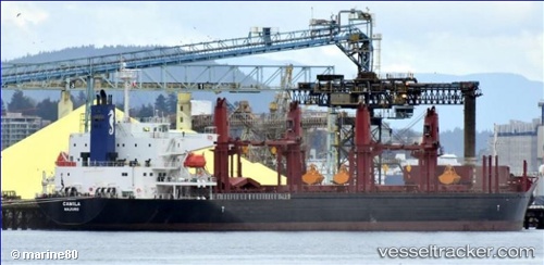
Vessel profile: ADASTAR is a Cargo with dimensions m x m.
This page combines live AIS, route history, probable destination signals, nearby traffic, and port activity for practical vessel monitoring.
The current position of vessel ADASTAR is 21.84493 lat / -22.64030 lng. Updated: 2026-06-13 04:42:14 UTCCurrently sailing under the flag of Liberia ![]()
Details:
Live Vessel ADASTAR Analytics (details, animations, etc.)
Recent AIS points (UTC):
2026-06-13 01:37:03 UTC · 22.25514, -22.09401 · SOG 12.6 kn · COG 232°2026-06-13 02:34:16 UTC · 22.12758, -22.26217 · SOG 12.8 kn · COG 232°
2026-06-13 04:25:33 UTC · 21.88261, -22.59176 · SOG 12.6 kn · COG 231°
2026-06-13 04:42:14 UTC · 21.84493, -22.64030 · SOG 12.6 kn · COG 229°