 Gortynia
Current Status
Where is the vessel?
Gortynia is currently in 16 nm SW of PORT DICKSON, based on AIS data received about 14h ago.
Latest AIS update:
Current position: 2.31776° N, 101.62570° E (16 nm SW of PORT DICKSON)
Average speed (last 7 days): Loading…
Average speed (last 30 days): Loading…
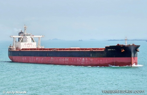
Vessel profile: Gortynia is a Bulk Carrier with dimensions 292m x 45m.
This page combines live AIS, route history, probable destination signals, nearby traffic, and port activity for practical vessel monitoring.
The current position of vessel Gortynia is 2.31776 lat / 101.62570 lng. Updated: 2026-05-20 17:38:58 UTCNearest reference points:
- 13 nm SW of PORT DICKSON
- Near PORT DICKSON
- 14 nm W of SUNGAI UDANG
Currently sailing under the flag of Malta ![]()
Details:
Live Vessel Gortynia Analytics (details, animations, etc.)
Recent AIS points (UTC):
2026-05-20 14:27:38 UTC · 2.73082, 101.11175 · SOG 13.6 kn · COG 120°2026-05-20 15:58:47 UTC · 2.56956, 101.40937 · SOG 12.4 kn · COG 141°
2026-05-20 16:33:08 UTC · 2.48640, 101.49781 · SOG 12.9 kn · COG 130°
2026-05-20 17:38:58 UTC · 2.31776, 101.62570 · SOG 12.2 kn · COG 170°