 vesseltracker.com
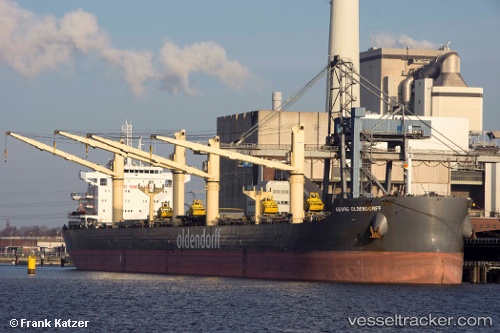
 Georg Oldendorff
Current Status
Where is the vessel?
Georg Oldendorff is currently in 117 nm NE of Trincomalee, based on AIS data received about 16h ago.
Latest AIS update:
Current position: 10.17049° N, 82.31896° E (117 nm NE of Trincomalee)
Average speed (last 7 days): Loading…
Average speed (last 30 days): Loading…
Vessel profile: Georg Oldendorff is a Bulk Carrier with dimensions 230m x 230m.
This page combines live AIS, route history, probable destination signals, nearby traffic, and port activity for practical vessel monitoring.
The current position of vessel Georg Oldendorff is 10.17049 lat / 82.31896 lng. Updated: 2026-05-18 06:12:52 UTCCurrently sailing under the flag of Portugal ![]()
Details:
Live Vessel Georg Oldendorff Analytics (details, animations, etc.)
Recent AIS points (UTC):
2026-05-18 06:12:52 UTC · 10.17049, 82.31896 · SOG 10.3 kn · COG 7°2026-05-18 06:12:52 UTC · 10.17049, 82.31896 · SOG 10.3 kn · COG 7°
2026-05-18 06:12:52 UTC · 10.17049, 82.31896 · SOG 10.3 kn · COG 7°
2026-05-18 06:12:52 UTC · 10.17049, 82.31896 · SOG 10.3 kn · COG 7°