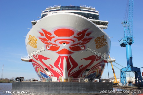
 Norwegian Joy
Current Status
Where is the vessel?
Norwegian Joy is currently in 14 nm SE of Pleasant Island, based on AIS data received about 14h ago.
Latest AIS update:
Current position: 58.13500° N, 135.44939° W (14 nm SE of Pleasant Island)
Average speed (last 7 days): Loading…
Average speed (last 30 days): Loading…
Vessel profile: Norwegian Joy is a Cruise Ship with dimensions 334m x 41m.
This page combines live AIS, route history, probable destination signals, nearby traffic, and port activity for practical vessel monitoring.
The current position of vessel Norwegian Joy is 58.13500 lat / -135.44939 lng. Updated: 2026-07-13 17:14:08 UTCNearest reference points:
- Near Juneau
- Near Sitka
Currently sailing under the flag of Bahamas ![]()
Details:
Live Vessel Norwegian Joy Analytics (details, animations, etc.)
Recent AIS points (UTC):
2026-07-13 13:34:43 UTC · 58.14667, -135.23810 · SOG 8.6 kn · COG 274°2026-07-13 13:40:02 UTC · 58.14782, -135.26201 · SOG 8.6 kn · COG 274°
2026-07-13 15:44:06 UTC · 58.13499, -135.44939 · SOG 0 kn · COG 96°
2026-07-13 17:14:08 UTC · 58.13500, -135.44939 · SOG 0 kn · COG 96°