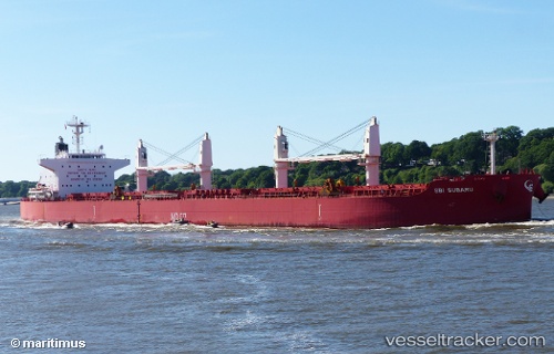
 STAR SUBARU
Current Status
Where is the vessel?
STAR SUBARU is currently in Near Paranagua, based on AIS data received about 14h ago.
Latest AIS update:
Current position: 25.49106° S, 48.44521° W (Near Paranagua)
Average speed (last 7 days): Loading…
Average speed (last 30 days): Loading…
Vessel profile: STAR SUBARU is a Cargo with dimensions m x m.
This page combines live AIS, route history, probable destination signals, nearby traffic, and port activity for practical vessel monitoring.
The current position of vessel STAR SUBARU is -25.49106 lat / -48.44521 lng. Updated: 2026-05-19 21:30:51 UTCNearest reference points:
- 24 nm E of Caioba
- 32 nm E of Caioba
- 10 nm NE of CAMBORIU
Currently sailing under the flag of Liberia ![]()
Details:
Live Vessel STAR SUBARU Analytics (details, animations, etc.)
Recent AIS points (UTC):
2026-05-19 17:51:20 UTC · -25.48915, -48.44224 · SOG 0.1 kn · COG 230°2026-05-19 19:08:51 UTC · -25.48967, -48.44556 · SOG 0 kn · COG 106°
2026-05-19 19:48:01 UTC · -25.48989, -48.44569 · SOG 0 kn · COG 108°
2026-05-19 21:30:51 UTC · -25.49106, -48.44521 · SOG 0 kn · COG 65°