 SALAHUDDIN
Current Status
Where is the vessel?
SALAHUDDIN is currently in 50 nm S of Kidd's Beach, based on AIS data received about 14h ago.
Latest AIS update:
Current position: 33.97107° S, 27.72161° E (50 nm S of Kidd's Beach)
Average speed (last 7 days): Loading…
Average speed (last 30 days): Loading…
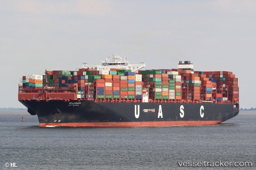
Vessel profile: SALAHUDDIN is a Cargo A with dimensions m x m.
This page combines live AIS, route history, probable destination signals, nearby traffic, and port activity for practical vessel monitoring.
The current position of vessel SALAHUDDIN is -33.97107 lat / 27.72161 lng. Updated: 2026-06-12 15:48:04 UTCNearest reference points:
- Near Deal Party
- 21 nm S of Mount Pleasant
- 23 nm E of Port Saint John's
Currently sailing under the flag of Liberia ![]()
Details:
Live Vessel SALAHUDDIN Analytics (details, animations, etc.)
Recent AIS points (UTC):
2026-06-12 11:50:14 UTC · -33.66064, 28.82718 · SOG 16.5 kn · COG 243°2026-06-12 13:02:40 UTC · -33.76463, 28.46499 · SOG 14.8 kn · COG 241°
2026-06-12 13:34:56 UTC · -33.81080, 28.31573 · SOG 15 kn · COG 244°
2026-06-12 15:48:04 UTC · -33.97107, 27.72161 · SOG 12.1 kn · COG 248°