 OLANGO ISLAND
Current Status
Where is the vessel?
OLANGO ISLAND is currently in Near Quequen, based on AIS data received about 14h ago.
Latest AIS update:
Current position: 38.68876° S, 58.55483° W (Near Quequen)
Average speed (last 7 days): Loading…
Average speed (last 30 days): Loading…
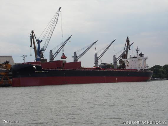
Vessel profile: OLANGO ISLAND is a Cargo with dimensions m x m.
This page combines live AIS, route history, probable destination signals, nearby traffic, and port activity for practical vessel monitoring.
The current position of vessel OLANGO ISLAND is -38.68876 lat / -58.55483 lng. Updated: 2026-05-26 00:23:45 UTCNearest reference points:
- Near NECOCHEA
- Near Mar Del Plata
Currently sailing under the flag of Singapore ![]()
Details:
Live Vessel OLANGO ISLAND Analytics (details, animations, etc.)
Recent AIS points (UTC):
2026-05-25 19:35:40 UTC · -38.68894, -58.55477 · SOG 0.1 kn · COG 225°2026-05-25 22:17:44 UTC · -38.68875, -58.55495 · SOG 0 kn · COG 221°
2026-05-25 22:29:46 UTC · -38.68868, -58.55513 · SOG 0 kn · COG 211°
2026-05-26 00:23:45 UTC · -38.68876, -58.55483 · SOG 0 kn · COG 220°