 vesseltracker.com
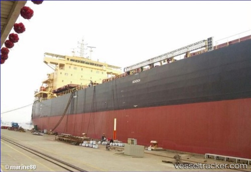
Toba
Current StatusWhere is the vessel?
Toba is currently in 30 nm S of Guarujá, based on AIS data received about 15h ago.
Latest AIS update:
Current position: 24.49491° S, 46.28863° W (30 nm S of Guarujá)
Average speed (last 7 days): Loading…
Average speed (last 30 days): Loading…
Vessel profile: Toba is a Bulk Carrier with dimensions 32m x 229m.
This page combines live AIS, route history, probable destination signals, nearby traffic, and port activity for practical vessel monitoring.
The current position of vessel Toba is -24.49491 lat / -46.28863 lng. Updated: 2026-05-17 22:35:50 UTCNearest reference points:
- 36 nm S of Guarujá
- Near Guarujá
- 30 nm SE of Guarujá
Details:
Live Vessel Toba Analytics (details, animations, etc.)
Recent AIS points (UTC):
2026-05-17 19:37:28 UTC · -24.68822, -46.14216 · SOG 7 kn · COG 70°2026-05-17 19:51:27 UTC · -24.67893, -46.11389 · SOG 6.9 kn · COG 70°
2026-05-17 21:53:28 UTC · -24.61821, -46.24806 · SOG 4.8 kn · COG 159°
2026-05-17 22:35:50 UTC · -24.49491, -46.28863 · SOG 14 kn · COG 343°