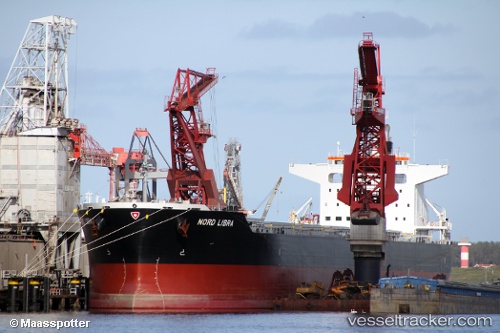
 VELOS LIBRA
Current Status
Where is the vessel?
VELOS LIBRA is currently in 61 nm W of Terempa, based on AIS data received about 14h ago.
Latest AIS update:
Current position: 2.90603° N, 105.24321° E (61 nm W of Terempa)
Average speed (last 7 days): Loading…
Average speed (last 30 days): Loading…
Vessel profile: VELOS LIBRA is a Cargo with dimensions m x m.
This page combines live AIS, route history, probable destination signals, nearby traffic, and port activity for practical vessel monitoring.
The current position of vessel VELOS LIBRA is 2.90603 lat / 105.24321 lng. Updated: 2026-06-15 03:28:15 UTCNearest reference points:
- 80 nm SW of Terempa
- 39 nm SE of Belida Terminal
- 64 nm NE of PENGERANG
Currently sailing under the flag of Marshall Islands ![]()
Details:
Live Vessel VELOS LIBRA Analytics (details, animations, etc.)
Recent AIS points (UTC):
2026-06-15 01:38:34 UTC · 2.60526, 105.10365 · SOG 11 kn · COG 28°2026-06-15 01:38:34 UTC · 2.60526, 105.10365 · SOG 11 kn · COG 28°
2026-06-15 02:08:34 UTC · 2.68759, 105.14377 · SOG 10.9 kn · COG 28°
2026-06-15 03:28:15 UTC · 2.90603, 105.24321 · SOG 10.7 kn · COG 23°