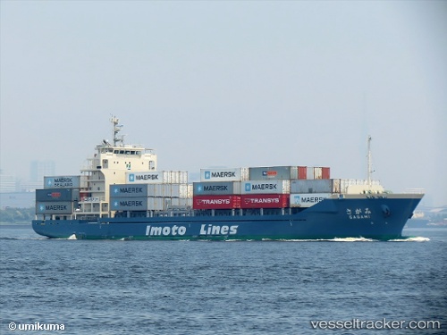
 Sagami
Current Status
Where is the vessel?
Sagami is currently in Near OHARA, based on AIS data received about 14h ago.
Latest AIS update:
Current position: 35.26819° N, 140.57906° E (Near OHARA)
Average speed (last 7 days): Loading…
Average speed (last 30 days): Loading…
Vessel profile: Sagami is a Container Ship with dimensions 111m x 111m.
This page combines live AIS, route history, probable destination signals, nearby traffic, and port activity for practical vessel monitoring.
The current position of vessel Sagami is 35.26819 lat / 140.57906 lng. Updated: 2026-05-21 01:32:03 UTCNearest reference points:
- Near OHARA
- Near ANEGASAKI
- Near KASHIMA
Currently sailing under the flag of Japan ![]()
Details:
Live Vessel Sagami Analytics (details, animations, etc.)
Recent AIS points (UTC):
2026-05-20 22:05:43 UTC · 34.95267, 140.07140 · SOG 10.9 kn · COG 59°2026-05-20 23:46:23 UTC · 35.06969, 140.33388 · SOG 9.1 kn · COG 61°
2026-05-21 01:18:42 UTC · 35.23976, 140.55148 · SOG 9.8 kn · COG 36°
2026-05-21 01:32:03 UTC · 35.26819, 140.57906 · SOG 9.8 kn · COG 37°