 TORM HEDWIG
Current Status
Where is the vessel?
TORM HEDWIG is currently in 205 nm E of Tan Cang Qui Nhon, based on AIS data received about 14h ago.
Latest AIS update:
Current position: 12.73847° N, 113.17674° E (205 nm E of Tan Cang Qui Nhon)
Average speed (last 7 days): Loading…
Average speed (last 30 days): Loading…
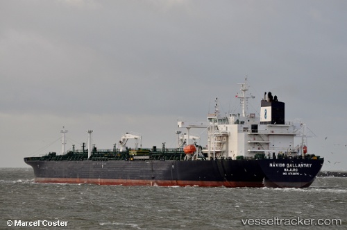
Vessel profile: TORM HEDWIG is a Tanker with dimensions m x m.
This page combines live AIS, route history, probable destination signals, nearby traffic, and port activity for practical vessel monitoring.
The current position of vessel TORM HEDWIG is 12.73847 lat / 113.17674 lng. Updated: 2026-05-22 05:10:42 UTCNearest reference points:
- 226 nm SE of Tan Cang Qui Nhon
- 232 nm E of Tan Cang Qui Nhon
- 222 nm E of Tan Cang Qui Nhon
Currently sailing under the flag of Denmark ![]()
Details:
Live Vessel TORM HEDWIG Analytics (details, animations, etc.)
Recent AIS points (UTC):
2026-05-22 01:11:49 UTC · 13.39427, 113.65556 · SOG 12.1 kn · COG -1°2026-05-22 03:33:31 UTC · 13.00408, 113.36819 · SOG 12 kn · COG 217°
2026-05-22 03:33:31 UTC · 13.00408, 113.36819 · SOG 12 kn · COG 217°
2026-05-22 05:10:42 UTC · 12.73847, 113.17674 · SOG 12 kn · COG 213°