 vesseltracker.com
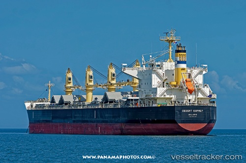
 OCEAN PERA
Current Status
Where is the vessel?
OCEAN PERA is currently in 19 nm W of NAVKAR ICD/Umbergaon, based on AIS data received about 15h ago.
Latest AIS update:
Current position: 20.70904° N, 72.58664° E (19 nm W of NAVKAR ICD/Umbergaon)
Average speed (last 7 days): Loading…
Average speed (last 30 days): Loading…
Vessel profile: OCEAN PERA is a Cargo with dimensions m x m.
This page combines live AIS, route history, probable destination signals, nearby traffic, and port activity for practical vessel monitoring.
The current position of vessel OCEAN PERA is 20.70904 lat / 72.58664 lng. Updated: 2026-05-18 04:10:55 UTCNearest reference points:
- Near Gandhar
- Near Mithivirdi
- 17 nm SE of Port Pipavav
Currently sailing under the flag of Malta ![]()
Details:
Live Vessel OCEAN PERA Analytics (details, animations, etc.)
Recent AIS points (UTC):
2026-05-18 01:25:58 UTC · 20.70889, 72.58668 · SOG 0 kn · COG 6°2026-05-18 01:55:32 UTC · 20.70833, 72.58500 · SOG 0 kn · COG -1°
2026-05-18 04:07:57 UTC · 20.70901, 72.58661 · SOG 0 kn · COG 351°
2026-05-18 04:10:55 UTC · 20.70904, 72.58664 · SOG 0.1 kn · COG 349°