 TRUE NORTH
Current Status
Where is the vessel?
TRUE NORTH is currently in 267 nm SE of Antofagasta, based on AIS data received about 14h ago.
Latest AIS update:
Current position: 25.67339° S, 74.77128° E (267 nm SE of Antofagasta)
Average speed (last 7 days): Loading…
Average speed (last 30 days): Loading…
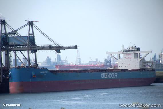
Vessel profile: TRUE NORTH is a Bulk Carrier with dimensions 300m x 50m.
This page combines live AIS, route history, probable destination signals, nearby traffic, and port activity for practical vessel monitoring.
The current position of vessel TRUE NORTH is -25.67339 lat / 74.77128 lng. Updated: 2026-06-17 11:27:10 UTCNearest reference points:
- Open sea, approx. 400 nm off the nearest listed port
- Open sea, approx. 401 nm off the nearest listed port
- Open sea, approx. 405 nm off the nearest listed port
Currently sailing under the flag of Liberia ![]()
TRUE NORTH built in 2016 year
Deadweight:
209325 tDetails:
Live Vessel TRUE NORTH Analytics (details, animations, etc.)
Recent AIS points (UTC):
2026-06-17 08:29:42 UTC · -25.89535, 74.21996 · SOG 10.5 kn · COG 64°2026-06-17 10:28:32 UTC · -25.75280, 74.58137 · SOG 11.3 kn · COG 65°
2026-06-17 11:05:56 UTC · -25.70271, 74.70196 · SOG 11.7 kn · COG 66°
2026-06-17 11:27:10 UTC · -25.67339, 74.77128 · SOG 11.7 kn · COG 67°