 Gyoko Maru
Current Status
Where is the vessel?
Gyoko Maru is currently in 15 nm SE of KESENNUMA, based on AIS data received about 15h ago.
Latest AIS update:
Current position: 38.67682° N, 141.71805° E (15 nm SE of KESENNUMA)
Average speed (last 7 days): Loading…
Average speed (last 30 days): Loading…
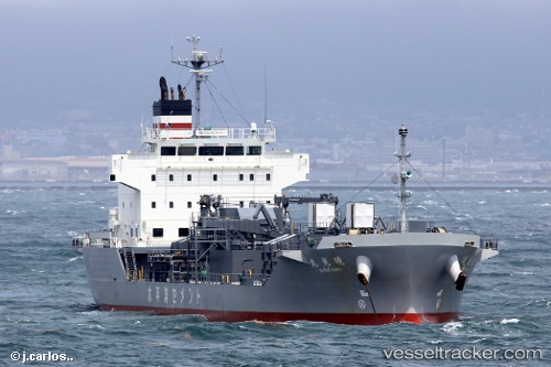
Vessel profile: Gyoko Maru is a Cement Carrier with dimensions 115m x 115m.
This page combines live AIS, route history, probable destination signals, nearby traffic, and port activity for practical vessel monitoring.
The current position of vessel Gyoko Maru is 38.67682 lat / 141.71805 lng. Updated: 2026-06-15 05:26:27 UTCNearest reference points:
- Near ONAGAWA
- Near OFUNATO
- Near ISHINOMAKI
Currently sailing under the flag of Japan ![]()
Details:
Live Vessel Gyoko Maru Analytics (details, animations, etc.)
Recent AIS points (UTC):
2026-06-15 02:05:27 UTC · 38.04048, 141.42079 · SOG 13.8 kn · COG 35°2026-06-15 04:08:18 UTC · 38.43288, 141.66502 · SOG 11.5 kn · COG 9°
2026-06-15 04:15:27 UTC · 38.45545, 141.67087 · SOG 11.6 kn · COG 10°
2026-06-15 05:26:27 UTC · 38.67682, 141.71805 · SOG 12 kn · COG -1°