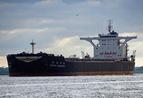
 China Harmony
Current Status
Where is the vessel?
China Harmony is currently in 18 nm NW of Burrup, based on AIS data received about 14h ago.
Latest AIS update:
Current position: 20.35989° S, 116.56213° E (18 nm NW of Burrup)
Average speed (last 7 days): Loading…
Average speed (last 30 days): Loading…
Vessel profile: China Harmony is a Bulk Carrier with dimensions 295m x 46m.
This page combines live AIS, route history, probable destination signals, nearby traffic, and port activity for practical vessel monitoring.
The current position of vessel China Harmony is -20.35989 lat / 116.56213 lng. Updated: 2026-05-21 01:47:57 UTCNearest reference points:
- 11 nm E of Port Walcot
- 116 nm NE of Mutineer
Currently sailing under the flag of Hong Kong ![]()
Details:
Live Vessel China Harmony Analytics (details, animations, etc.)
Recent AIS points (UTC):
2026-05-20 21:57:02 UTC · -20.35942, 116.56216 · SOG 0.4 kn · COG 72°2026-05-20 22:23:56 UTC · -20.35914, 116.56199 · SOG 0.2 kn · COG 78°
2026-05-20 23:56:57 UTC · -20.35825, 116.56174 · SOG 0.3 kn · COG 90°
2026-05-21 01:47:57 UTC · -20.35989, 116.56213 · SOG 0.4 kn · COG 63°