 vesseltracker.com
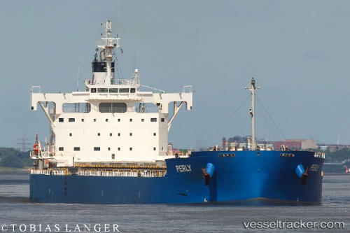
 GALATEIA
Current Status
Where is the vessel?
GALATEIA is currently in 21 nm W of Widuri, based on AIS data received about 17h ago.
Latest AIS update:
Current position: 4.63713° S, 106.30264° E (21 nm W of Widuri)
Average speed (last 7 days): Loading…
Average speed (last 30 days): Loading…
Vessel profile: GALATEIA is a Cargo with dimensions m x m.
This page combines live AIS, route history, probable destination signals, nearby traffic, and port activity for practical vessel monitoring.
The current position of vessel GALATEIA is -4.63713 lat / 106.30264 lng. Updated: 2026-05-17 17:21:48 UTCNearest reference points:
- 38 nm E of Kotatengah
- Near SURALAYA
- Near BAKAUHENI
Currently sailing under the flag of Liberia ![]()
Details:
Live Vessel GALATEIA Analytics (details, animations, etc.)
Recent AIS points (UTC):
2026-05-17 11:59:33 UTC · -3.54522, 106.72983 · SOG 13.3 kn · COG 220°2026-05-17 17:21:48 UTC · -4.63713, 106.30264 · SOG 12.9 kn · COG 203°
2026-05-17 17:21:48 UTC · -4.63713, 106.30264 · SOG 12.9 kn · COG 203°
2026-05-17 17:21:48 UTC · -4.63713, 106.30264 · SOG 12.9 kn · COG 203°