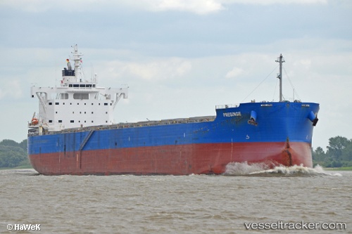
 PRESINGE
Current Status
Where is the vessel?
PRESINGE is currently in 103 nm NW of Villamarchante, based on AIS data received about 14h ago.
Latest AIS update:
Current position: 40.62895° N, 38.76155° W (103 nm NW of Villamarchante)
Average speed (last 7 days): Loading…
Average speed (last 30 days): Loading…
Vessel profile: PRESINGE is a Cargo with dimensions m x m.
This page combines live AIS, route history, probable destination signals, nearby traffic, and port activity for practical vessel monitoring.
The current position of vessel PRESINGE is 40.62895 lat / -38.76155 lng. Updated: 2026-05-20 16:04:17 UTCNearest reference points:
- 97 nm SE of Chapineria
Currently sailing under the flag of Marshall Islands ![]()
Details:
Live Vessel PRESINGE Analytics (details, animations, etc.)
Recent AIS points (UTC):
2026-05-20 13:39:18 UTC · 40.66192, -39.32105 · SOG 11.3 kn · COG 97°2026-05-20 13:52:16 UTC · 40.65870, -39.26825 · SOG 11.1 kn · COG 97°
2026-05-20 16:04:17 UTC · 40.62895, -38.76155 · SOG 10.5 kn · COG 100°
2026-05-20 16:04:17 UTC · 40.62895, -38.76155 · SOG 10.5 kn · COG 100°