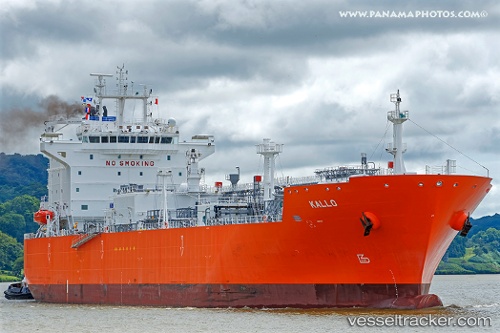
 Kallo
Kallo
Current Status
Where is the vessel?
Kallo is currently in 21 nm N of Scauri Alto, based on AIS data received about 14h ago.
Latest AIS update:
Current position: 37.11093° N, 12.05395° E (21 nm N of Scauri Alto)
Average speed (last 7 days): Loading…
Average speed (last 30 days): Loading…
Vessel profile: Kallo is a Lpg Tanker with dimensions 180m x 180m.
This page combines live AIS, route history, probable destination signals, nearby traffic, and port activity for practical vessel monitoring.
The current position of vessel Kallo is 37.11093 lat / 12.05395 lng. Updated: 2026-05-22 04:23:41 UTCNearest reference points:
- Near MARSALA
- 13 nm N of Qulaybiyah
- Near Trapani
Currently sailing under the flag of Belgium ![]()
Details:
Live Vessel Kallo Analytics (details, animations, etc.)
Recent AIS points (UTC):
2026-05-22 01:27:34 UTC · 36.78605, 12.87600 · SOG 15.6 kn · COG 292°2026-05-22 02:09:59 UTC · 36.85412, 12.66817 · SOG 15 kn · COG 298°
2026-05-22 04:05:23 UTC · 37.07363, 12.13543 · SOG 15 kn · COG 302°
2026-05-22 04:23:41 UTC · 37.11093, 12.05395 · SOG 14.7 kn · COG 302°