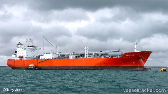
Kapellen
Current StatusWhere is the vessel?
Kapellen is currently in 89 nm NW of Santa Lucia, based on AIS data received about 15h ago.
Latest AIS update:
Current position: 23.90333° N, 84.91333° W (89 nm NW of Santa Lucia)
Average speed (last 7 days): Loading…
Average speed (last 30 days): Loading…
Vessel profile: Kapellen is a Lpg Tanker with dimensions 30m x 180m.
This page combines live AIS, route history, probable destination signals, nearby traffic, and port activity for practical vessel monitoring.
The current position of vessel Kapellen is 23.90333 lat / -84.91333 lng. Updated: 2026-05-21 00:13:15 UTCNearest reference points:
- 14 nm W of Florida Straits
- 40 nm S of Florida Straits
- Near Mariel
Details:
Live Vessel Kapellen Analytics (details, animations, etc.)
Recent AIS points (UTC):
2026-05-20 19:09:30 UTC · 23.65667, -83.68667 · SOG 14 kn · COG -1°2026-05-20 21:54:56 UTC · 23.75833, -84.35333 · SOG 14 kn · COG -1°
2026-05-20 23:09:59 UTC · 23.83667, -84.65667 · SOG 14 kn · COG -1°
2026-05-21 00:13:15 UTC · 23.90333, -84.91333 · SOG 14 kn · COG -1°