 ELEKTRA
Current Status
Where is the vessel?
ELEKTRA is currently in Near New Priok Port, based on AIS data received about 14h ago.
Latest AIS update:
Current position: 5.95230° S, 106.90077° E (Near New Priok Port)
Average speed (last 7 days): Loading…
Average speed (last 30 days): Loading…
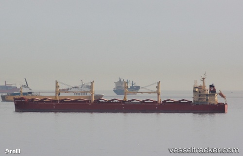
Vessel profile: ELEKTRA is a Cargo with dimensions m x m.
This page combines live AIS, route history, probable destination signals, nearby traffic, and port activity for practical vessel monitoring.
The current position of vessel ELEKTRA is -5.95230 lat / 106.90077 lng. Updated: 2026-06-23 16:07:07 UTCNearest reference points:
- Near New Priok Port
- Near Jakarta
- Near Ancol
Details:
Live Vessel ELEKTRA Analytics (details, animations, etc.)
Recent AIS points (UTC):
2026-06-23 13:22:20 UTC · -5.76986, 106.47507 · SOG 10.3 kn · COG 101°2026-06-23 13:51:39 UTC · -5.79075, 106.55849 · SOG 10.5 kn · COG 102°
2026-06-23 16:07:07 UTC · -5.95230, 106.90077 · SOG 5.2 kn · COG 140°
2026-06-23 16:07:07 UTC · -5.95230, 106.90077 · SOG 5.2 kn · COG 140°