 FRONT TAY
Current Status
Where is the vessel?
FRONT TAY is currently in Near Majistan/Zhoushan, based on AIS data received about 15h ago.
Latest AIS update:
Current position: 30.06226° N, 121.95861° E (Near Majistan/Zhoushan)
Average speed (last 7 days): Loading…
Average speed (last 30 days): Loading…
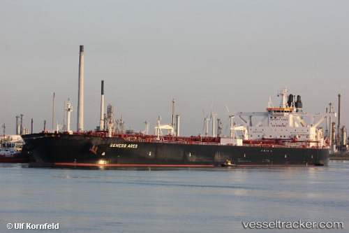
Vessel profile: FRONT TAY is a Tanker with dimensions m x m.
This page combines live AIS, route history, probable destination signals, nearby traffic, and port activity for practical vessel monitoring.
The current position of vessel FRONT TAY is 30.06226 lat / 121.95861 lng. Updated: 2026-05-21 03:42:04 UTCNearest reference points:
- Near Majistan/Zhoushan
- Near Beilun
- Near Daxie Pt
Currently sailing under the flag of Marshall Islands ![]()
Details:
Live Vessel FRONT TAY Analytics (details, animations, etc.)
Recent AIS points (UTC):
2026-05-21 01:21:05 UTC · 30.06225, 121.95861 · SOG 0 kn · COG 22°2026-05-21 01:36:08 UTC · 30.06220, 121.95863 · SOG 0 kn · COG 22°
2026-05-21 03:36:08 UTC · 30.06226, 121.95859 · SOG 0 kn · COG 22°
2026-05-21 03:42:04 UTC · 30.06226, 121.95861 · SOG 0 kn · COG 22°