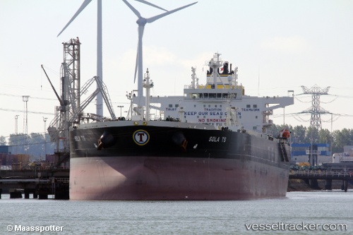
 Sola Ts
Current Status
Where is the vessel?
Sola Ts is currently in 107 nm SE of Willow Street, based on AIS data received about 15h ago.
Latest AIS update:
Current position: 29.63540° N, 74.90473° W (107 nm SE of Willow Street)
Average speed (last 7 days): Loading…
Average speed (last 30 days): Loading…
Vessel profile: Sola Ts is a Crude Oil Tanker with dimensions 250m x 44m.
This page combines live AIS, route history, probable destination signals, nearby traffic, and port activity for practical vessel monitoring.
The current position of vessel Sola Ts is 29.63540 lat / -74.90473 lng. Updated: 2026-07-16 16:47:12 UTCNearest reference points:
- 113 nm NE of Green Turtle Cay
- 75 nm N of Green Turtle Cay
Currently sailing under the flag of Malta ![]()
Details:
Live Vessel Sola Ts Analytics (details, animations, etc.)
Recent AIS points (UTC):
2026-07-16 13:28:53 UTC · 30.14724, -74.28057 · SOG 13.6 kn · COG 230°2026-07-16 15:01:13 UTC · 29.90805, -74.57461 · SOG 13.6 kn · COG 227°
2026-07-16 16:03:45 UTC · 29.74788, -74.77148 · SOG 13.7 kn · COG 225°
2026-07-16 16:47:12 UTC · 29.63540, -74.90473 · SOG 13.2 kn · COG 225°