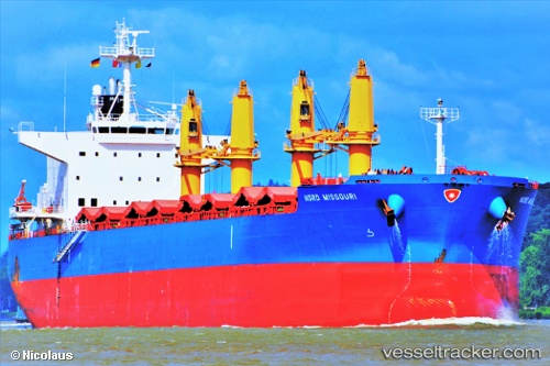
 Nord Missouri
Current Status
Where is the vessel?
Nord Missouri is currently in Near Cape Agulhas, based on AIS data received about 14h ago.
Latest AIS update:
Current position: 34.95261° S, 19.97843° E (Near Cape Agulhas)
Average speed (last 7 days): Loading…
Average speed (last 30 days): Loading…
Vessel profile: Nord Missouri is a Bulk Carrier with dimensions 200m x 32m.
This page combines live AIS, route history, probable destination signals, nearby traffic, and port activity for practical vessel monitoring.
The current position of vessel Nord Missouri is -34.95261 lat / 19.97843 lng. Updated: 2026-05-20 23:05:01 UTCNearest reference points:
- 15 nm SE of Moorreesburg
- Near Mitchells Plain
- Near Salt River
Currently sailing under the flag of Panama ![]()
Details:
Live Vessel Nord Missouri Analytics (details, animations, etc.)
Recent AIS points (UTC):
2026-05-20 17:36:46 UTC · -34.76219, 19.03085 · SOG 9.1 kn · COG 122°2026-05-20 19:02:50 UTC · -34.84547, 19.26770 · SOG 8.8 kn · COG 114°
2026-05-20 22:02:40 UTC · -34.95829, 19.79343 · SOG 9.6 kn · COG 97°
2026-05-20 23:05:01 UTC · -34.95261, 19.97843 · SOG 8.9 kn · COG 77°