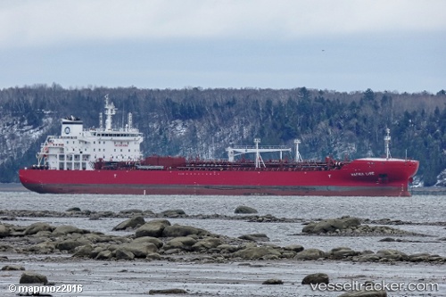
 Hafnia Lise
Current Status
Where is the vessel?
Hafnia Lise is currently in 39 nm E of Schönheide, based on AIS data received about 14h ago.
Latest AIS update:
Current position: 50.36083° N, 11.52816° W (39 nm E of Schönheide)
Average speed (last 7 days): Loading…
Average speed (last 30 days): Loading…
Vessel profile: Hafnia Lise is a Chemical Oil Products Tanker with dimensions 183m x 183m.
This page combines live AIS, route history, probable destination signals, nearby traffic, and port activity for practical vessel monitoring.
The current position of vessel Hafnia Lise is 50.36083 lat / -11.52816 lng. Updated: 2026-05-22 23:37:44 UTCNearest reference points:
- 20 nm SE of Wunschendorf
- Near CASTLETOWN BEARHAVEN
- Near Skull
Currently sailing under the flag of Malta ![]()
Details:
Live Vessel Hafnia Lise Analytics (details, animations, etc.)
Recent AIS points (UTC):
2026-05-22 20:21:51 UTC · 50.54750, -10.50770 · SOG 11.8 kn · COG 253°2026-05-22 22:11:51 UTC · 50.43723, -11.06983 · SOG 12.7 kn · COG 256°
2026-05-22 22:33:51 UTC · 50.41828, -11.18770 · SOG 12.7 kn · COG 255°
2026-05-22 23:37:44 UTC · 50.36083, -11.52816 · SOG 12.8 kn · COG 255°