 vesseltracker.com
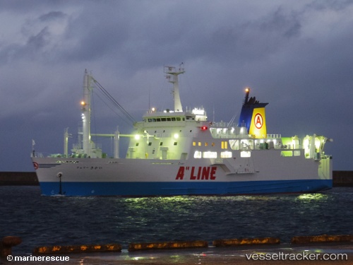
Ferry Kikai
Current StatusWhere is the vessel?
Ferry Kikai is currently in Near Kagoshima, based on AIS data received about 15h ago.
Latest AIS update:
Current position: 31.59521° N, 130.56767° E (Near Kagoshima)
Average speed (last 7 days): Loading…
Average speed (last 30 days): Loading…
Vessel profile: Ferry Kikai is a Passenger Ro Ro Cargo Ship with dimensions 18m x 102m.
This page combines live AIS, route history, probable destination signals, nearby traffic, and port activity for practical vessel monitoring.
The current position of vessel Ferry Kikai is 31.59521 lat / 130.56767 lng. Updated: 2026-05-17 21:31:55 UTCNearest reference points:
- Near Kagoshima
- Near Kiire
- Near YAMAGAWA
Details:
Live Vessel Ferry Kikai Analytics (details, animations, etc.)
Recent AIS points (UTC):
2026-05-17 18:01:57 UTC · 31.59525, 130.56770 · SOG 0 kn · COG 358°2026-05-17 20:02:36 UTC · 31.59525, 130.56767 · SOG 0 kn · COG 357°
2026-05-17 20:16:45 UTC · 31.59523, 130.56772 · SOG 0 kn · COG 357°
2026-05-17 21:31:55 UTC · 31.59521, 130.56767 · SOG 0.1 kn · COG 357°