 Tenryu Maru
Current Status
Where is the vessel?
Tenryu Maru is currently in 34 nm E of HARAMACHI, based on AIS data received about 14h ago.
Latest AIS update:
Current position: 37.59667° N, 141.73500° E (34 nm E of HARAMACHI)
Average speed (last 7 days): Loading…
Average speed (last 30 days): Loading…
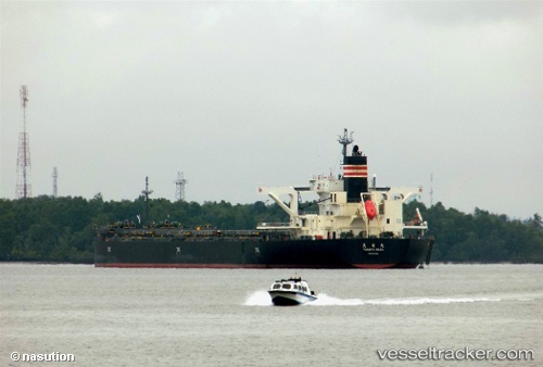
Vessel profile: Tenryu Maru is a Bulk Carrier with dimensions 250m x 250m.
This page combines live AIS, route history, probable destination signals, nearby traffic, and port activity for practical vessel monitoring.
The current position of vessel Tenryu Maru is 37.59667 lat / 141.73500 lng. Updated: 2026-06-26 14:21:20 UTCNearest reference points:
- 33 nm SE of HARAMACHI
- 32 nm NE of ONAHAMA
- 31 nm NE of ONAHAMA
Currently sailing under the flag of Singapore ![]()
Details:
Live Vessel Tenryu Maru Analytics (details, animations, etc.)
Recent AIS points (UTC):
2026-06-26 11:03:16 UTC · 37.62333, 141.73167 · SOG 0 kn · COG -1°2026-06-26 11:28:53 UTC · 37.62041, 141.73267 · SOG 0.7 kn · COG 255°
2026-06-26 13:29:24 UTC · 37.60264, 141.73341 · SOG 0.4 kn · COG 243°
2026-06-26 14:21:20 UTC · 37.59667, 141.73500 · SOG 0 kn · COG -1°